
Let’s learn about GPS and How Satellites Help Us Navigate!
When you open a map app on your phone and see a small blue dot showing your location, something remarkable is happening.
Within seconds, your device communicates with satellites orbiting high above Earth. Using math, physics, and precise timing, it calculates exactly where you are.
This system is called GPS, which stands for Global Positioning System.
GPS connects space technology, mathematics, and travel into one powerful tool that people use every day.
What Is GPS?
GPS is a satellite-based navigation system that allows devices on Earth to determine their exact location.
It can tell you:
- Where you are
- How far you are from a destination
- How long it may take to arrive
- Which route is fastest
GPS works anywhere on Earth — on land, at sea, and in the air.
Where Did GPS Come From?
GPS was developed by the United States Department of Defense in the 1970s.
Originally, it was designed for military navigation.
In the 1980s and 1990s, GPS technology became available for civilian use. Over time, it became more accurate and widely used.
Today, GPS supports:
- Airplane navigation
- Shipping routes
- Emergency services
- Scientific research
- Everyday driving and walking directions
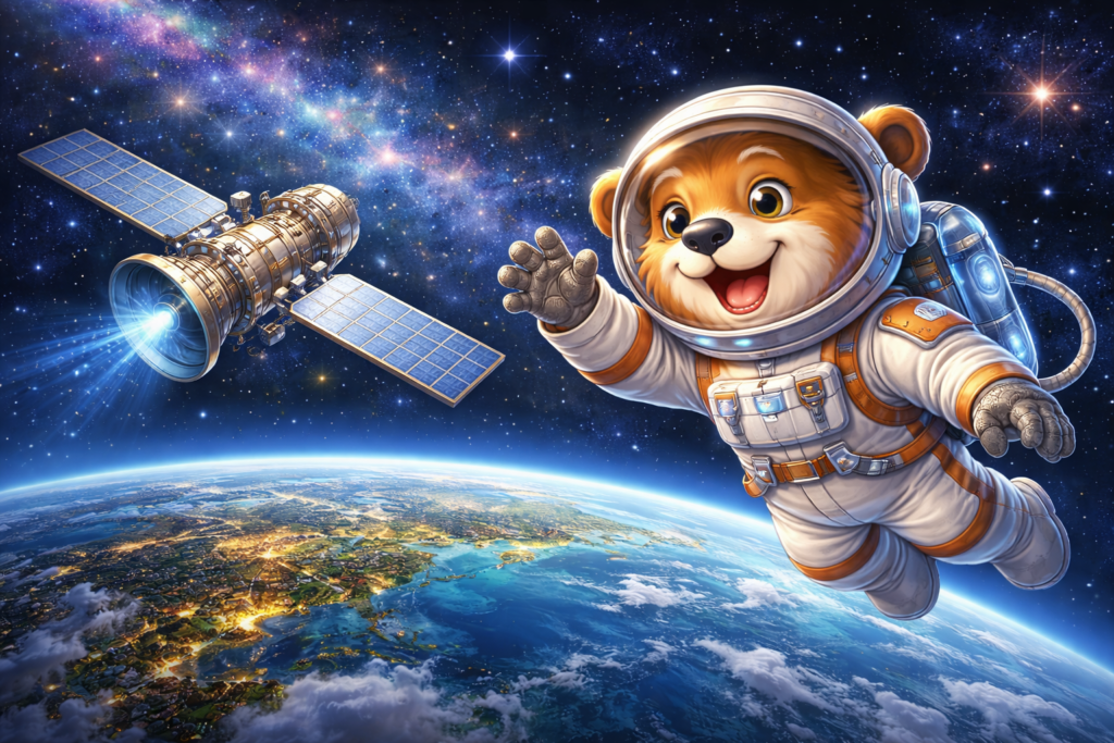
The Satellites in Space
At the heart of GPS is a network of at least 24 satellites orbiting Earth.
These satellites:
- Orbit about 12,500 miles (20,000 kilometers) above Earth
- Travel at speeds of about 8,700 miles per hour
- Circle the planet twice each day
Because the satellites are spaced evenly around Earth, at least four are usually visible from any location.
How GPS Finds Your Location
GPS works using a method called trilateration.
This method uses distance measurements from multiple satellites.
Here is how it works step by step:
Step 1: Satellite Signals
Each GPS satellite constantly sends out a radio signal.
This signal contains:
- The satellite’s position
- The exact time the signal was sent
Step 2: Measuring Time
Your phone or GPS device receives the signal.
Because radio waves travel at the speed of light, the device calculates how long the signal took to arrive.
Distance = Speed × Time
If the signal took 0.07 seconds to arrive, your device multiplies that time by the speed of light to estimate how far away the satellite is.
Step 3: Drawing Invisible Spheres
If you know your distance from one satellite, you could be anywhere on an invisible sphere around it.
With two satellites, you narrow your location to where two spheres intersect.
With three satellites, the location becomes even more precise.
With four satellites, your exact position in three dimensions (latitude, longitude, and altitude) can be calculated.
This is trilateration in action.
The Importance of Atomic Clocks
GPS requires extremely precise timing.
Even an error of one millionth of a second could cause location errors of hundreds of meters.
Each GPS satellite carries an atomic clock.
Atomic clocks are incredibly accurate — they measure time based on the vibrations of atoms.
This precision allows GPS calculations to remain accurate.
The Role of Math
GPS relies heavily on mathematics, including:
- Geometry (measuring distances in space)
- Algebra (solving equations)
- Physics (understanding signal speed)
- Trigonometry (angles and positioning)
Without math, the system would not function.
The blue dot on your phone is the result of continuous mathematical calculations.
GPS and Travel
GPS has transformed how people travel.
Before GPS, navigation required:
- Paper maps
- Compasses
- Road signs
- Careful planning
Today, GPS helps travelers:
- Avoid traffic
- Estimate arrival times
- Find hiking trails
- Navigate unfamiliar cities
Pilots, ship captains, and emergency responders also rely on GPS for safety.
GPS and Everyday Life
GPS supports many systems beyond driving directions.
It helps with:
- Delivery services
- Weather tracking
- Disaster response
- Scientific studies of Earth’s movement
- Monitoring tectonic plate shifts
Farmers use GPS-guided equipment to plant crops efficiently.
Scientists use GPS to measure tiny movements in Earth’s crust.
GPS Is Not the Only System
While GPS was developed in the United States, other countries have similar systems:
- GLONASS (Russia)
- Galileo (European Union)
- BeiDou (China)
Many modern devices use signals from multiple systems for improved accuracy.
Limitations of GPS
GPS signals can be weakened or blocked by:
- Tall buildings
- Mountains
- Dense forests
- Underground locations
This is why location services sometimes lose accuracy indoors.
Engineers continue improving technology to overcome these limitations.
Final Reflection
GPS may feel ordinary because we use it daily.
But behind each location update is a network of satellites, atomic clocks, radio signals, and advanced mathematics.
Signals travel from space to your hand in less than a second.
Geometry determines your position.
Physics ensures signals move at predictable speeds.
Technology quietly connects Earth and space.
Understanding GPS shows how math and science guide us calmly across the world.
Suggested Reading & Books
The following books explore the science of play, brain development, creativity, adolescence, and intrinsic motivation. These are accessible to parents, educators, and thoughtful readers.
- Taylor, Jessica – How do satellites stay in space?
- Peridot, Kate – Satellites: Learn all about satellites and their special missions to connect, inform, and protect all of us
Sources & Further Reading
The following trusted educational resources provide more information about GPS and satellite navigation:
- NASA – Global Positioning System Overview
https://www.nasa.gov/directorates/heo/scan/communications/policy/GPS/ - NOAA – How GPS Works
https://oceanservice.noaa.gov/facts/gps.html - U.S. Space Force – GPS.gov Official Site
https://www.gps.gov - National Geographic – How GPS Works
https://www.nationalgeographic.org/article/how-gps-works/ - Smithsonian National Air and Space Museum – Satellite Navigation
https://airandspace.si.edu/stories/editorial/how-does-gps-work
These resources are provided for educational purposes and to encourage deeper exploration of satellite technology and navigation science.